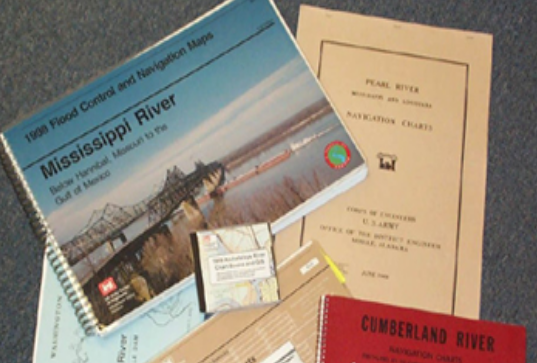
Inland Chart Books


 Current USACE chart books can be purchased from the Government Publishing Office (GPO) bookstore, by accessing the USACE Navigational Chart store. Charts may be available at a lower cost directly from the Corps Districts, however, for consumer convenience, charts are now available for purchase through the GPO.
Many hard copy chart books are available from the Corps districts. The cost, scale, features, and update cycles may be different from district to district.
Current USACE chart books can be purchased from the Government Publishing Office (GPO) bookstore, by accessing the USACE Navigational Chart store. Charts may be available at a lower cost directly from the Corps Districts, however, for consumer convenience, charts are now available for purchase through the GPO.
Many hard copy chart books are available from the Corps districts. The cost, scale, features, and update cycles may be different from district to district.
Alabama River
Last published in 2014, the Alabama River Navigation Charts are available to download in pdf format (11 x 17 inches) from the Mobile District.
Allegheny River
Last published in 2004, the Allegheny River Navigation Charts are available to download in pdf format (14 x 8.5") from the Pittsburgh District or for hardcopy purchase from the GPO Bookstore.
Arkansas River
Last published in 2003, the McClellan-Kerr Navigation Charts are available for download in pdf format (16 x 8") and can be ordered as hard copy books from the Tulsa District.
Atchafalaya River
Last published in 2012, the Atchafalaya River Navigation Charts are available for download in PDF format (11 x 17) from the New Orleans District or for hard copy from the
Black Warrior, Tombigbee and Mobile Rivers
Last published in 2014, the Black Warrior/Tombigbee/Mobile Rivers Navigation Charts are available to download in pdf format (11 x 17") from the Mobile District or for hardcopy purchase from the GPO Bookstore.
Cumberland River
Last published in January 2013, the Cumberland River Navigation Charts are available for download in pdf format (8.5 x 14") or for hard copy purchase from the Nashville District.
Green River
Last published in 2011, the Green River Navigation Charts are available for download in pdf format (14 x 8.5") from the Louisville District.
Illinois Waterway
Last published 2013, the Illinois Waterway Navigation Charts, including Sanitary and Ship Canal and Calumet Sag Channel, are available for download in pdf format (11 x 17") or for hard copy purchase from the Rock Island District.
Kanawha River
Last published in 2012, the Kanawha River Navigation Charts are available for download in pdf format (14 x 8.5") from the Huntington District or for hard copy purchase from the GPO Bookstore.
Upper Mississippi River
Last published in 2011, the Upper Mississippi River Navigation Charts are available for download in pdf format (11 x 17") or for hard copy purchase from the Rock Island District.
Lower Mississippi River
Last published in 2007, the Lower Mississippi River Navigation Charts are available for download in pdf format (11 x 17") from the New Orleans District and Vicksburg District.
Missouri River
Published in 2014, the Missouri River Navigation Charts (Miles 0-499) are available for download in PDF format (14 x 8.5") from the Kansas City District.
Published in 2014, the Missiouri River Navigation Charts (Miles 499-735) are available for download here in PDF format (14 x 8.5") from the Omaha District.
Last published in 2004, the Monongahela River Navigation Charts are available for download in pdf format (14" x 8.5") books from the Pittsburgh District or for hard copy purchase from the GPO Bookstore. Ohio River
The Ohio River Navigation Charts (3 chart books) are available for purchase from the GPO Bookstore or for download in pdf format (14 x 8.5") from the following websites:
Pittsburgh District (2003) - Pittsburgh, PA to New Martinsville, WV
Huntington District (2014) - New Martinsville, WV to Foster, KY
Louisville District (2014) - Foster, KY to Cairo, IL
Last published in 2006, the Ouachita and Black Rivers Navigation Charts are available for download in pdf format (17 x 11") or for hard copy purchase from the Vicksburg District.
Red River
Last published in 2006, the Red River Navigation Charts are available for download in pdf format (17 x 11") or for purchase from the Vicksburg District.
Tennessee River
Last published in January 2013, the Tennessee River Navigation Charts are available for download in pdf format (14 x 8.5") or for purchase from the Nashville District.
Tennessee-Tombigbee Waterway
Last published in 2013, the Tennessee-Tombigbee Waterway Navigation Charts are available in pdf format (11 x 17") from the Mobile District or for hardcopy purchase from the GPO Bookstore.
White River
Last published in 2012, the White River Navigation Charts are available for download in pdf format (17 x 11") from the Memphis District.